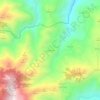
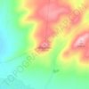
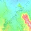
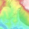
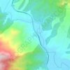
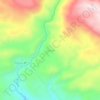
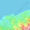
Arhavi topographic map
Click on the map to display elevation.
Arhavi
Very rugged topography of the district and the supply structure is defective in a particular period and it says connecting Şahinkaya Poplar, agar, Fish, and Lome says Double Bridge and erode the land is deeply split. Therefore, roughly 2,000 feet (610 m) from the area between the flat coastal plain with no backup is not found immediately. Poplar Box and connect to it says the deep valleys that have opened branches in the district but also the most important transportation creates güzergahlarini.
About this map

Name: Arhavi topographic map, elevation, terrain.
Location: Arhavi, Artvin, Black Sea Region, Turkey (41.08339 41.24621 41.36991 41.52550)
Average elevation: 1,090 m
Minimum elevation: 0 m
Maximum elevation: 3,349 m
Other topographic maps
Click on a map to view its topography, its elevation and its terrain.




Gaziantep
The plan introduced several important changes to the city's transportation network. One of the most important was the addition of a rail line to connect Gaziantep to the national rail system. Up to now, Turkish railway construction had ignored Gaziantep (partly because of its mountainous surroundings); a…
Average elevation: 880 m