
Rio Grande topographic map
Interactive map
Click on the map to display elevation.
About this map
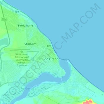
Name: Rio Grande topographic map, elevation, terrain.
Average elevation: 6 m
Minimum elevation: 0 m
Maximum elevation: 65 m
Other topographic maps
Click on a map to view its topography, its elevation and its terrain.
Rio Grande
Argentina > Tierra del Fuego Province
Rio Grande, Departamento Río Grande, Tierra del Fuego Province, 9420, Argentina
Average elevation: 23 m