
Lyons Falls topographic map
Interactive map
Click on the map to display elevation.
About this map
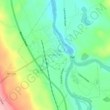
Name: Lyons Falls topographic map, elevation, terrain.
Location: Lyons Falls, Lewis County, New York, 13368, États-Unis (43.60530 -75.37604 43.63247 -75.34763)
Average elevation: 276 m
Minimum elevation: 217 m
Maximum elevation: 386 m