
Bredsten topographic map
Interactive map
Click on the map to display elevation.
About this map
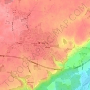
Name: Bredsten topographic map, elevation, terrain.
Location: Bredsten, Vejle Kommune, Region Süddänemark, Dänemark (55.69679 9.37603 55.70705 9.39574)
Average elevation: 78 m
Minimum elevation: 7 m
Maximum elevation: 102 m