
Thank you for supporting this site ❤️
Make a donation
Make a donation
Chandranigahapur topographic map
Click on the map to display elevation.
Thank you for supporting this site ❤️
Make a donation
Make a donation
About this map
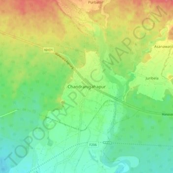
Name: Chandranigahapur topographic map, elevation, terrain.
Location: Chandranigahapur, Rautahat, Madhesh Province, 44515, Nepal (27.07904 85.31591 27.15904 85.39591)
Average elevation: 133 m
Minimum elevation: 108 m
Maximum elevation: 170 m
Thank you for supporting this site ❤️
Make a donation
Make a donation
Other topographic maps
Click on a map to view its topography, its elevation and its terrain.