
Lija topographic map
Interactive map
Click on the map to display elevation.
About this map
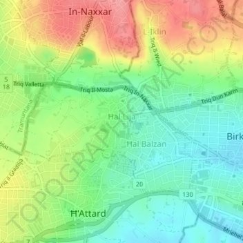
Name: Lija topographic map, elevation, terrain.
Location: Lija, Central Region, LJA9016, Malta (35.89672 14.43401 35.90545 14.45239)
Average elevation: 77 m
Minimum elevation: 38 m
Maximum elevation: 132 m