
Tangern topographic map
Interactive map
Click on the map to display elevation.
About this map
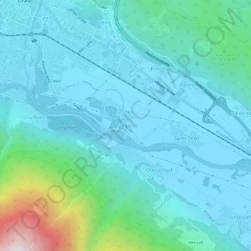
Name: Tangern topographic map, elevation, terrain.
Location: Tangern, Spittal an der Drau, Kärnten, 9803, Österreich (46.75765 13.49998 46.79765 13.53998)
Average elevation: 691 m
Minimum elevation: 521 m
Maximum elevation: 1,636 m