
Thank you for supporting this site ❤️
Make a donation
Make a donation
Jhirniya topographic map
Click on the map to display elevation.
Thank you for supporting this site ❤️
Make a donation
Make a donation
About this map
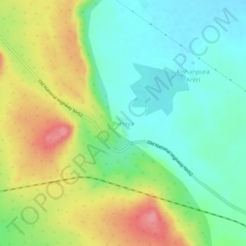
Name: Jhirniya topographic map, elevation, terrain.
Location: Jhirniya, Jhalrapatan Tehsil, Jhalawar, Rajasthan, India (24.59593 76.08511 24.63593 76.12511)
Average elevation: 341 m
Minimum elevation: 306 m
Maximum elevation: 397 m
Thank you for supporting this site ❤️
Make a donation
Make a donation