
Muhanga topographic map
Interactive map
Click on the map to display elevation.
About this map
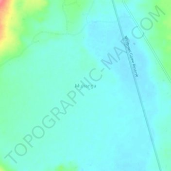
Name: Muhanga topographic map, elevation, terrain.
Location: Muhanga, Kasulu, Kigoma Region, Western Zone, Tanzania (-4.53528 30.36056 -4.49528 30.40056)
Average elevation: 1,201 m
Minimum elevation: 1,188 m
Maximum elevation: 1,262 m
Other topographic maps
Click on a map to view its topography, its elevation and its terrain.