
Thank you for supporting this site ❤️
Make a donation
Make a donation
The Pas topographic map
Click on the map to display elevation.
Thank you for supporting this site ❤️
Make a donation
Make a donation
About this map
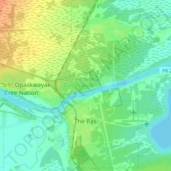
Name: The Pas topographic map, elevation, terrain.
Location: The Pas, Division No. 21, Manitoba, Canada (53.80096 -101.26166 53.87491 -101.15194)
Average elevation: 268 m
Minimum elevation: 257 m
Maximum elevation: 289 m
Thank you for supporting this site ❤️
Make a donation
Make a donation