
Mapulang Lupa topographic map
Interactive map
Click on the map to display elevation.
About this map
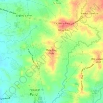
Name: Mapulang Lupa topographic map, elevation, terrain.
Location: Mapulang Lupa, Bulacan, Central Luzon, 3012, Philippines (14.86204 120.94422 14.90204 120.98422)
Average elevation: 40 m
Minimum elevation: 13 m
Maximum elevation: 74 m