
Thank you for supporting this site ❤️
Make a donation
Make a donation
Chatham topographic map
Click on the map to display elevation.
Thank you for supporting this site ❤️
Make a donation
Make a donation
About this map
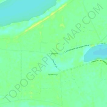
Name: Chatham topographic map, elevation, terrain.
Location: Chatham, Washington County, Mississippi, United States (33.08068 -91.11789 33.12068 -91.07789)
Average elevation: 34 m
Minimum elevation: 26 m
Maximum elevation: 43 m
Thank you for supporting this site ❤️
Make a donation
Make a donation
Other topographic maps
Click on a map to view its topography, its elevation and its terrain.