
Thank you for supporting this site ❤️
Make a donation
Make a donation
Great Stirrup Cay topographic map
Click on the map to display elevation.
Thank you for supporting this site ❤️
Make a donation
Make a donation
About this map
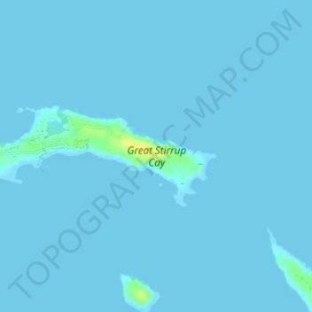
Name: Great Stirrup Cay topographic map, elevation, terrain.
Location: Great Stirrup Cay, Berry Islands, Bahamas (25.81854 -77.92621 25.82774 -77.89480)
Average elevation: 1 m
Minimum elevation: 0 m
Maximum elevation: 19 m
Thank you for supporting this site ❤️
Make a donation
Make a donation
Other topographic maps
Click on a map to view its topography, its elevation and its terrain.