
Les Petïtes Fourches topographic map
Interactive map
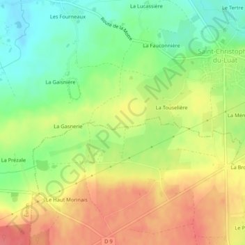
Click on the map to display elevation.
About this map
Name: Les Petïtes Fourches topographic map, elevation, terrain.
Average elevation: 110 m
Minimum elevation: 77 m
Maximum elevation: 142 m
Other topographic maps
Click on a map to view its topography, its elevation and its terrain.
Château de Montecler
France > Pays de la Loire > Évron
Château de Montecler, D 562, La Croix aux Veques, Châtres-la-Forêt, Évron, Mayenne, Pays de la Loire, France métropolitaine, 53600, France
Average elevation: 101 m