
Abiete topographic map
Interactive map
Click on the map to display elevation.
About this map
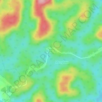
Name: Abiete topographic map, elevation, terrain.
Location: Abiete, Ngoulémakong, Mvila, Région du Sud, Cameroun (3.07778 11.23674 3.11778 11.27674)
Average elevation: 730 m
Minimum elevation: 670 m
Maximum elevation: 843 m