
Manhara topographic map
Click on the map to display elevation.
About this map
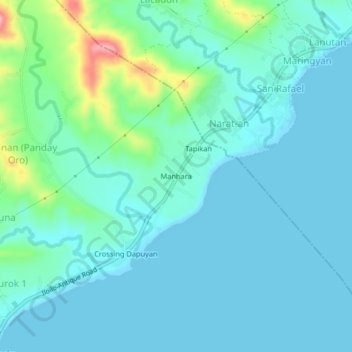
Name: Manhara topographic map, elevation, terrain.
Location: Manhara, San Joaquin, Iloilo, Western Visayas, Philippines (10.58722 122.14381 10.62722 122.18381)
Average elevation: 23 m
Minimum elevation: 0 m
Maximum elevation: 139 m