
Thank you for supporting this site ❤️
Make a donation
Make a donation
Tabac topographic map
Click on the map to display elevation.
Thank you for supporting this site ❤️
Make a donation
Make a donation
About this map
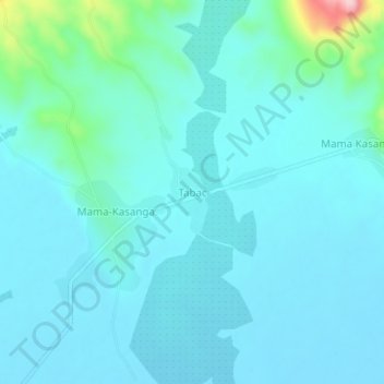
Name: Tabac topographic map, elevation, terrain.
Location: Tabac, Tanganyika, Democratic Republic of the Congo (-5.82710 29.27119 -5.78710 29.31119)
Average elevation: 802 m
Minimum elevation: 773 m
Maximum elevation: 997 m
Thank you for supporting this site ❤️
Make a donation
Make a donation
Other topographic maps
Click on a map to view its topography, its elevation and its terrain.