
Provinz Guanacaste topographic map
Interactive map
Click on the map to display elevation.
About this map
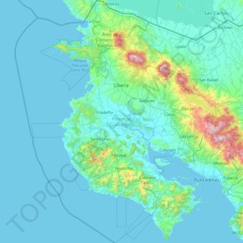
Name: Provinz Guanacaste topographic map, elevation, terrain.
Location: Provinz Guanacaste, Costa Rica (9.65196 -86.04500 11.21957 -84.76617)
Average elevation: 158 m
Minimum elevation: -1 m
Maximum elevation: 1,938 m