
Watlar topographic map
Click on the map to display elevation.
About this map
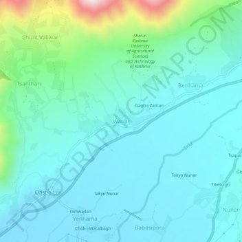
Name: Watlar topographic map, elevation, terrain.
Location: Watlar, Lar, Ganderbal, Jammu and Kashmir, 191201, India (34.24873 74.75070 34.28873 74.79070)
Average elevation: 1,725 m
Minimum elevation: 1,599 m
Maximum elevation: 2,310 m