
Thank you for supporting this site ❤️
Make a donation
Make a donation
Kampung Cina topographic map
Click on the map to display elevation.
Thank you for supporting this site ❤️
Make a donation
Make a donation
About this map
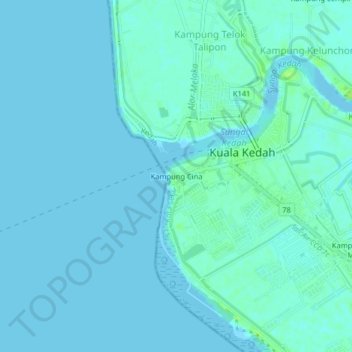
Name: Kampung Cina topographic map, elevation, terrain.
Location: Kampung Cina, Kuala Kedah, Kota Setar, Kedah, 06600, Malaysia (6.08447 100.26596 6.12447 100.30596)
Average elevation: 2 m
Minimum elevation: -2 m
Maximum elevation: 11 m
Thank you for supporting this site ❤️
Make a donation
Make a donation