
Thank you for supporting this site ❤️
Make a donation
Make a donation
Arenda topographic map
Click on the map to display elevation.
Thank you for supporting this site ❤️
Make a donation
Make a donation
About this map
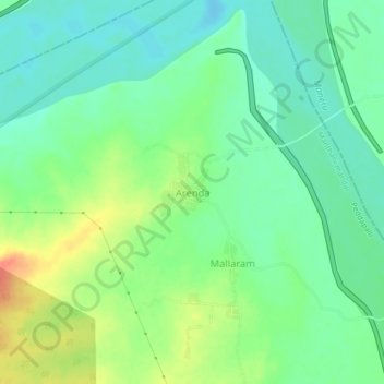
Name: Arenda topographic map, elevation, terrain.
Location: Arenda, Manthani mandal, Peddapalli, Telangana, India (18.66407 79.78571 18.70407 79.82571)
Average elevation: 124 m
Minimum elevation: 107 m
Maximum elevation: 154 m
Thank you for supporting this site ❤️
Make a donation
Make a donation