
Aggunetan topographic map
Click on the map to display elevation.
About this map
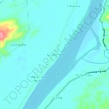
Name: Aggunetan topographic map, elevation, terrain.
Location: Aggunetan, Cagayan, Cagayan Valley, Philippines (18.01970 121.60132 18.05970 121.64132)
Average elevation: 13 m
Minimum elevation: 0 m
Maximum elevation: 110 m
Other topographic maps
Click on a map to view its topography, its elevation and its terrain.