
Thank you for supporting this site ❤️
Make a donation
Make a donation
Port Fourchon topographic map
Click on the map to display elevation.
Thank you for supporting this site ❤️
Make a donation
Make a donation
About this map
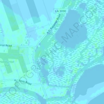
Name: Port Fourchon topographic map, elevation, terrain.
Location: Port Fourchon, Lafourche Parish, Louisiana, United States (29.11324 -90.19924 29.13324 -90.17924)
Average elevation: 1 m
Minimum elevation: -5 m
Maximum elevation: 4 m
Thank you for supporting this site ❤️
Make a donation
Make a donation
Other topographic maps
Click on a map to view its topography, its elevation and its terrain.