
Thank you for supporting this site ❤️
Make a donation
Make a donation
New River topographic map
Click on the map to display elevation.
Thank you for supporting this site ❤️
Make a donation
Make a donation
About this map
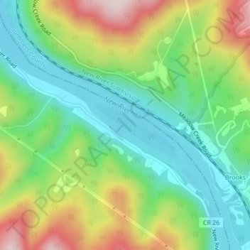
Name: New River topographic map, elevation, terrain.
Location: New River, Raleigh County, West Virginia, USA (37.72688 -80.91187 37.73523 -80.89638)
Average elevation: 525 m
Minimum elevation: 390 m
Maximum elevation: 757 m
Thank you for supporting this site ❤️
Make a donation
Make a donation