
Thank you for supporting this site ❤️
Make a donation
Make a donation
Gunung Talang topographic map
Click on the map to display elevation.
Thank you for supporting this site ❤️
Make a donation
Make a donation
About this map
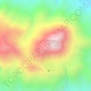
Name: Gunung Talang topographic map, elevation, terrain.
Location: Gunung Talang, Solok, West Sumatra, Sumatra, Indonesia (-0.98123 100.67687 -0.97780 100.68201)
Average elevation: 2,174 m
Minimum elevation: 1,774 m
Maximum elevation: 2,579 m
Thank you for supporting this site ❤️
Make a donation
Make a donation