
Afamba topographic map
Interactive map
Click on the map to display elevation.
About this map
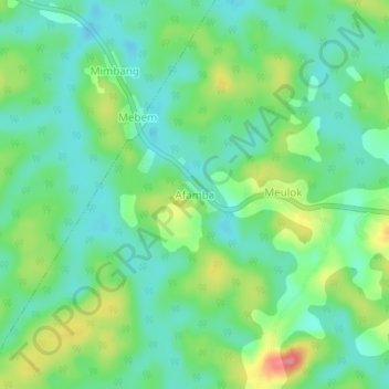
Name: Afamba topographic map, elevation, terrain.
Location: Afamba, Meyomessi, Dja-et-Lobo, Région du Sud, Cameroun (2.79139 12.05499 2.83139 12.09499)
Average elevation: 693 m
Minimum elevation: 665 m
Maximum elevation: 750 m