
Thank you for supporting this site ❤️
Make a donation
Make a donation
Canto del Llano topographic map
Click on the map to display elevation.
Thank you for supporting this site ❤️
Make a donation
Make a donation
About this map
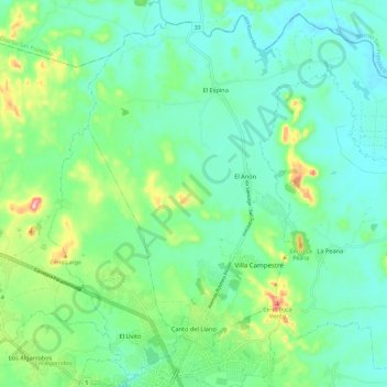
Name: Canto del Llano topographic map, elevation, terrain.
Location: Canto del Llano, Distrito Santiago, Veraguas, Panamá (8.10846 -80.99866 8.21781 -80.87995)
Average elevation: 88 m
Minimum elevation: 37 m
Maximum elevation: 239 m
Thank you for supporting this site ❤️
Make a donation
Make a donation
Other topographic maps
Click on a map to view its topography, its elevation and its terrain.