
Thank you for supporting this site ❤️
Make a donation
Make a donation
Macon County topographic map
Click on the map to display elevation.
Thank you for supporting this site ❤️
Make a donation
Make a donation
About this map
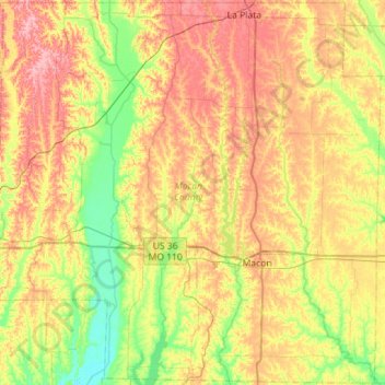
Name: Macon County topographic map, elevation, terrain.
Location: Macon County, Missouri, United States (39.60564 -92.85777 40.03735 -92.29022)
Average elevation: 250 m
Minimum elevation: 202 m
Maximum elevation: 309 m
Thank you for supporting this site ❤️
Make a donation
Make a donation
Other topographic maps
Click on a map to view its topography, its elevation and its terrain.