Geolocate

Nadiya topographic map

Interactive map

Click on the map to display elevation.

About this map

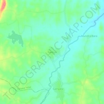
Name: Nadiya topographic map, elevation, terrain.

Location: Nadiya, Galiakot Tehsil, Dungarpur District, Rajasthan, India (23.48245 73.94125 23.52245 73.98125)

Average elevation: 148 m

Minimum elevation: 127 m

Maximum elevation: 198 m

Other topographic maps

Click on a map to view its topography, its elevation and its terrain.

Bhemai

India > Rajasthan > Galiakot Tehsil

Bhemai, Galiakot Tehsil, Dungarpur District, Rajasthan, India

Average elevation: 187 m

Silohi

India > Rajasthan > Galiakot Tehsil

Silohi, Galiakot Tehsil, Dungarpur District, Rajasthan, 314026, India

Average elevation: 140 m

Daiyana

India > Rajasthan > Galiakot Tehsil

Daiyana, Galiakot Tehsil, Dungarpur District, Rajasthan, India

Average elevation: 160 m