
Busy topographic map
Interactive map
Click on the map to display elevation.
About this map
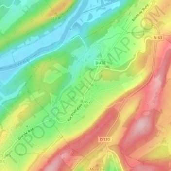
Name: Busy topographic map, elevation, terrain.
Average elevation: 320 m
Minimum elevation: 229 m
Maximum elevation: 425 m
Busy liegt auf 310 m, etwa zehn Kilometer südwestlich der Stadt Besançon (Luftlinie). Das Dorf erstreckt sich nahe dem westlichen Rand des Juras, auf einer Geländeterrasse am Nordabhang des Höhenzuges zwischen den Tälern von Doubs im Norden und Loue im Süden.