
Perrogney-les-Fontaines topographic map
Interactive map
Click on the map to display elevation.
About this map
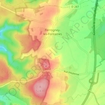
Name: Perrogney-les-Fontaines topographic map, elevation, terrain.
Average elevation: 465 m
Minimum elevation: 405 m
Maximum elevation: 525 m