
Thank you for supporting this site ❤️
Make a donation
Make a donation
Acquafredda Superiore topographic map
Click on the map to display elevation.
Thank you for supporting this site ❤️
Make a donation
Make a donation
About this map
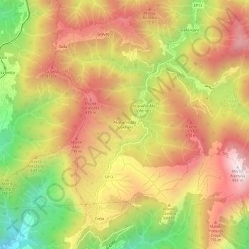
Name: Acquafredda Superiore topographic map, elevation, terrain.
Location: Acquafredda Superiore, Montoggio, Genova, Liguria, 16165, Italia (44.46801 8.99570 44.50801 9.03570)
Average elevation: 585 m
Minimum elevation: 111 m
Maximum elevation: 962 m
Thank you for supporting this site ❤️
Make a donation
Make a donation