
El Cerro topographic map
Interactive map
Click on the map to display elevation.
About this map
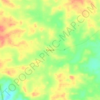
Name: El Cerro topographic map, elevation, terrain.
Location: El Cerro, Agua Fría, Distrito Santa Fe, Darién, Panamá (8.79740 -78.18411 8.83740 -78.14411)
Average elevation: 88 m
Minimum elevation: 56 m
Maximum elevation: 113 m