
Montalchez topographic map
Interactive map
Click on the map to display elevation.
About this map
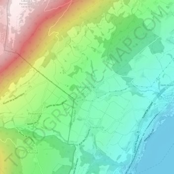
Name: Montalchez topographic map, elevation, terrain.
Location: Montalchez, District de Boudry, Neuchâtel, 2027, Suisse (46.87757 6.72455 46.91757 6.76455)
Average elevation: 751 m
Minimum elevation: 422 m
Maximum elevation: 1,401 m