
Thank you for supporting this site ❤️
Make a donation
Make a donation
Vado topographic map
Click on the map to display elevation.
Thank you for supporting this site ❤️
Make a donation
Make a donation
About this map
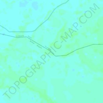
Name: Vado topographic map, elevation, terrain.
Location: Vado, Guaranda, La Mojana, Sucre, RAP Caribe, Colombia (8.28323 -74.69425 8.30323 -74.67425)
Average elevation: 29 m
Minimum elevation: 25 m
Maximum elevation: 32 m
Thank you for supporting this site ❤️
Make a donation
Make a donation