
Lamesa topographic map
Click on the map to display elevation.
About this map
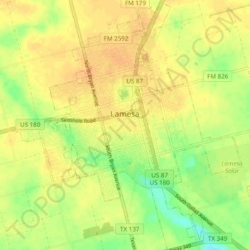
Name: Lamesa topographic map, elevation, terrain.
Location: Lamesa, Dawson County, Texas, 79331, United States (32.70401 -101.98638 32.76229 -101.92270)
Average elevation: 907 m
Minimum elevation: 887 m
Maximum elevation: 919 m