
Horka topographic map
Interactive map
Click on the map to display elevation.
About this map
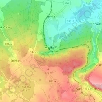
Name: Horka topographic map, elevation, terrain.
Location: Horka, Bezirk Chrudim, Pardubitzer Region, Tschechien (49.85072 15.90100 49.89420 15.94448)
Average elevation: 346 m
Minimum elevation: 271 m
Maximum elevation: 436 m