
Skipedalshyrna topographic map
Click on the map to display elevation.
About this map
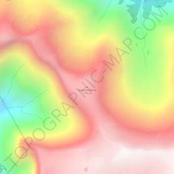
Name: Skipedalshyrna topographic map, elevation, terrain.
Location: Skipedalshyrna, Stryn, Vestland, 6798, Norge (61.88083 7.18004 61.88093 7.18014)
Average elevation: 1,293 m
Minimum elevation: 596 m
Maximum elevation: 1,759 m
Other topographic maps
Click on a map to view its topography, its elevation and its terrain.