
Gandscha topographic map
Interactive map
Click on the map to display elevation.
About this map
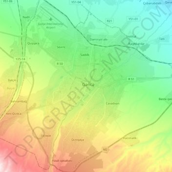
Name: Gandscha topographic map, elevation, terrain.
Location: Gandscha, Verwaltungsgebiet Gandscha, Aserbaidschan (40.60268 46.25322 40.75361 46.44194)
Average elevation: 431 m
Minimum elevation: 237 m
Maximum elevation: 804 m