
San Rafael topographic map
Click on the map to display elevation.
About this map
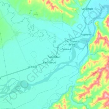
Name: San Rafael topographic map, elevation, terrain.
Location: San Rafael, Province of Bellavista, San Martín, Peru (-7.09579 -76.54662 -6.94449 -76.42434)
Average elevation: 268 m
Minimum elevation: 217 m
Maximum elevation: 519 m
Other topographic maps
Click on a map to view its topography, its elevation and its terrain.