
Thank you for supporting this site ❤️
Make a donation
Make a donation
Santa Cruz Texmalaquilla topographic map
Click on the map to display elevation.
Thank you for supporting this site ❤️
Make a donation
Make a donation
About this map
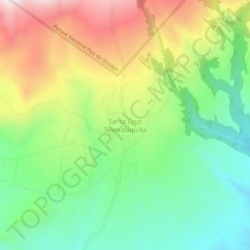
Name: Santa Cruz Texmalaquilla topographic map, elevation, terrain.
Location: Santa Cruz Texmalaquilla, Atzitzintla, Puebla, 75540, Mexico (18.92306 -97.30750 18.96306 -97.26750)
Average elevation: 3,097 m
Minimum elevation: 2,837 m
Maximum elevation: 3,488 m
Thank you for supporting this site ❤️
Make a donation
Make a donation