
Dorra District topographic map
Interactive map
Click on the map to display elevation.
About this map
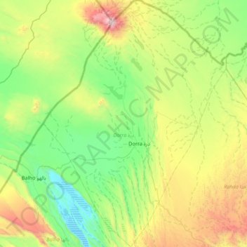
Name: Dorra District topographic map, elevation, terrain.
Location: Dorra District, Tadjourah, Djibouti (11.87855 42.21976 12.52487 42.70990)
Average elevation: 552 m
Minimum elevation: -2 m
Maximum elevation: 2,008 m