
Thank you for supporting this site ❤️
Make a donation
Make a donation
Murnadu topographic map
Click on the map to display elevation.
Thank you for supporting this site ❤️
Make a donation
Make a donation
About this map
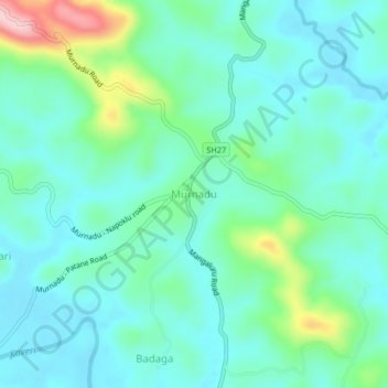
Name: Murnadu topographic map, elevation, terrain.
Location: Murnadu, Madikeri taluku, Kodagu, Karnataka, India (12.29354 75.73245 12.33354 75.77245)
Average elevation: 908 m
Minimum elevation: 861 m
Maximum elevation: 1,076 m
Thank you for supporting this site ❤️
Make a donation
Make a donation