
Wanne topographic map
Interactive map
Click on the map to display elevation.
About this map
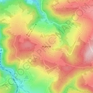
Name: Wanne topographic map, elevation, terrain.
Location: Wanne, Trois-Ponts, Verviers, Luik, Wallonië, 4980, België (50.33573 5.90140 50.37573 5.94140)
Average elevation: 427 m
Minimum elevation: 275 m
Maximum elevation: 560 m
Other topographic maps
Click on a map to view its topography, its elevation and its terrain.