
Thank you for supporting this site ❤️
Make a donation
Make a donation
Vinh Chau topographic map
Click on the map to display elevation.
Thank you for supporting this site ❤️
Make a donation
Make a donation
About this map
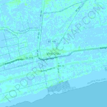
Name: Vinh Chau topographic map, elevation, terrain.
Location: Vinh Chau, Cần Thơ, Vietnam (9.28378 105.94061 9.36378 106.02061)
Average elevation: 1 m
Minimum elevation: -3 m
Maximum elevation: 5 m
Thank you for supporting this site ❤️
Make a donation
Make a donation
Other topographic maps
Click on a map to view its topography, its elevation and its terrain.