
Frick topographic map
Interactive map
Click on the map to display elevation.
About this map
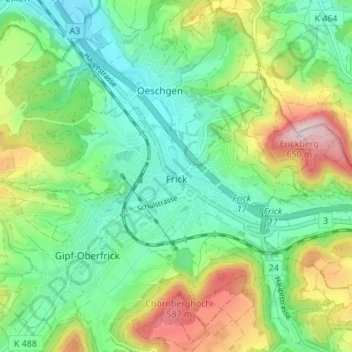
Name: Frick topographic map, elevation, terrain.
Location: Frick, Bezirk Laufenburg, Argovie, 5070, Suisse (47.48811 7.97818 47.52765 8.04640)
Average elevation: 424 m
Minimum elevation: 317 m
Maximum elevation: 641 m