
Thank you for supporting this site ❤️
Make a donation
Make a donation
New Columbus topographic map
Click on the map to display elevation.
Thank you for supporting this site ❤️
Make a donation
Make a donation
About this map
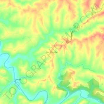
Name: New Columbus topographic map, elevation, terrain.
Location: New Columbus, Owen County, Kentucky, United States (38.43757 -84.66522 38.47757 -84.62522)
Average elevation: 249 m
Minimum elevation: 211 m
Maximum elevation: 285 m
Thank you for supporting this site ❤️
Make a donation
Make a donation