
Shahdara topographic map
Click on the map to display elevation.
About this map
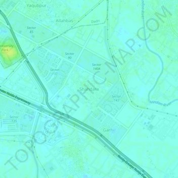
Name: Shahdara topographic map, elevation, terrain.
Location: Shahdara, Gautam Buddha Nagar, Uttar Pradesh, 210305, India (28.48473 77.39926 28.52473 77.43926)
Average elevation: 199 m
Minimum elevation: 195 m
Maximum elevation: 208 m
Other topographic maps
Click on a map to view its topography, its elevation and its terrain.
Noida Authority Park
India > Uttar Pradesh > Gautam Buddha Nagar > Noida > Garhi
Average elevation: 198 m