
Thank you for supporting this site ❤️
Make a donation
Make a donation
Bhulta topographic map
Click on the map to display elevation.
Thank you for supporting this site ❤️
Make a donation
Make a donation
About this map
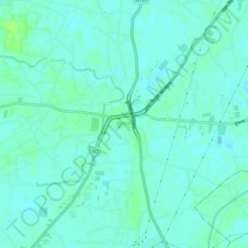
Name: Bhulta topographic map, elevation, terrain.
Location: Bhulta, Narayangonj district, Dhaka Division, 1462, Bangladesh (23.76368 90.54734 23.80368 90.58734)
Average elevation: 6 m
Minimum elevation: 2 m
Maximum elevation: 13 m
Thank you for supporting this site ❤️
Make a donation
Make a donation