
Mons topographic map
Interactive map
Click on the map to display elevation.
About this map
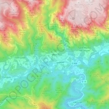
Name: Mons topographic map, elevation, terrain.
Average elevation: 471 m
Minimum elevation: 99 m
Maximum elevation: 1,088 m
Der barocke Belfried mit 87 m Höhe aus Südwest hinter dem Spanischen Haus